Click on image for full view and caption
Our thoughts are with all the locals who have suffered so greatly from the recent weather events which have devastated this area.
Before the cyclone: Freedom Camping, Eastern Hawke’s Bay, Winter 2022
Bette Cosgrove
We feel so privileged and fortunate to have made this journey a year ago, gathering such beautiful memories of the landscape as it was.
Our thoughts are with all the locals who have suffered so greatly from the recent weather events which have devastated this area, and we wish them strength and patience as the clean up continues.
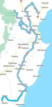
The map shows the main areas we visited over a week, staying in freedom camping and DOC sites.

Waihi Falls
Waihi Falls is a hidden gem which was the first designated reserve in Hawke’s Bay in 1899. Self-contained vehicles can park overnight in the carpark above the falls where there’s a shelter and toilet.

Te Paerahi
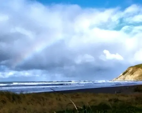
A rainbow greeted us and we discovered a seal frolicking on the long, wild beach here. Te Paerahi (Porangahau Beach) — has a lovely council-owned ‘free camp’ area on the corner of Te Paerahi Street and Puketauhinu Place.
Pukekaihau Pā, Waipukurau

The historic Pukekaihau Pā site is on the hill overlooking Waipukurau. Walk up the hill from Hunter Memorial Park, in central Waipukurau.
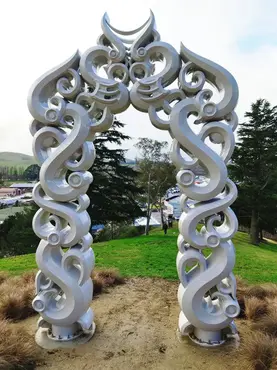
Te Hohou i Te Rongo is a 3.6m carved gateway welcoming visitors to the Pā. The stylised figures encompass the history of Pukekaihau pā, coming together in a hongi — the ultimate act of cultivating peace.
Officially opened in February 2022, the Ngā Ara Tipuna project presents the history on the site of Pukekaihau Pā, which was a thriving Māori settlement from the 1600s until the 1830s.
Puketapu Hotel

The historic Puketapu Hotel was established in 1885. It was a community hub for locals during and after Cyclone Gabrielle. A year ago we enjoyed their award-winning cuisine and classic country atmosphere.

Tutaekuri River
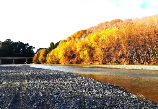
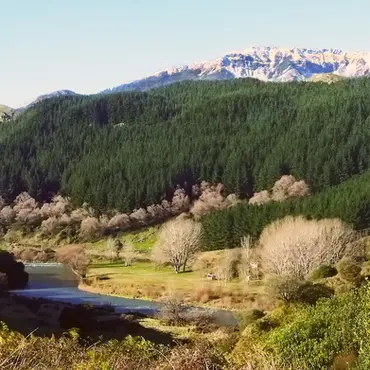
The stunning autumn colours of the trees bordering the Tutaekuri River, with the now-destroyed bridge at Puketapu in the distance.
This braided river flows east from the Kaweka Range to the Pacific Ocean south of Napier and Taradale.

Dartmoor Bridge Reserve

We found this great little quiet freedom camping spot alongside the Tutaekuri River just west of Puketapu. You must be self contained to stay here as there are no toilets or rubbish bins.

The Kaweka Ranges
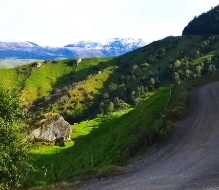
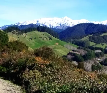
Driving into the Kaweka Ranges in search of the hidden Mangatutu hot springs. After a 60km drive (an hour of it on unsealed gravel roads) we reached an impassable river ford on Makahu Road, which was still 7.5 km from the secluded hot springs destination.

We turned around and enjoyed the return drive with snow capped peaks in the distance.

Glenfalls Campsite
Glenfalls DOC site on the banks of the Mohaka River is a basic campsite in a stunning location. We swam in the chilly river and witnessed an amazing moon-rise and starlit night.

Waitara Road
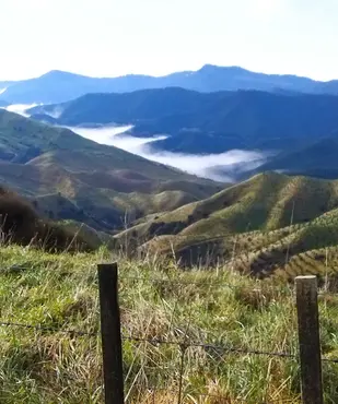
Heading east towards the coast we woke to a misty morning on the Waitara Road.
Stunning Pohokura Road
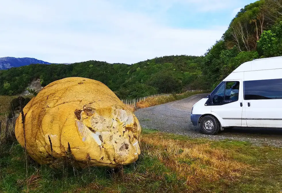
One of the most stunning drives we’ve ever experienced.

Pohokura Road follows the rim of an ancient volcano, taking you to Opouahi Scenic Reserve. We walked around a high altitude lake through original bush surrounded by a 3km predator proof fence protecting a kiwi nursery. Kiwi chicks are raised here until they are large and strong enough to survive in the wild.

Lake Tūtira
Pohukura road comes out onto State Highway 2 near Lake Tūtira. Sadly the DOC camp area and the Hawkes Bay Regional Park campground here are now closed due to the recent cyclone damage.

4 Winter 2023
, p
19


