Cycle touring: Part II, Southland to the West Coast

Stephen Wood

After my ride from Canterbury to Southland, the next step was to continue my clockwise circuit of the Island.
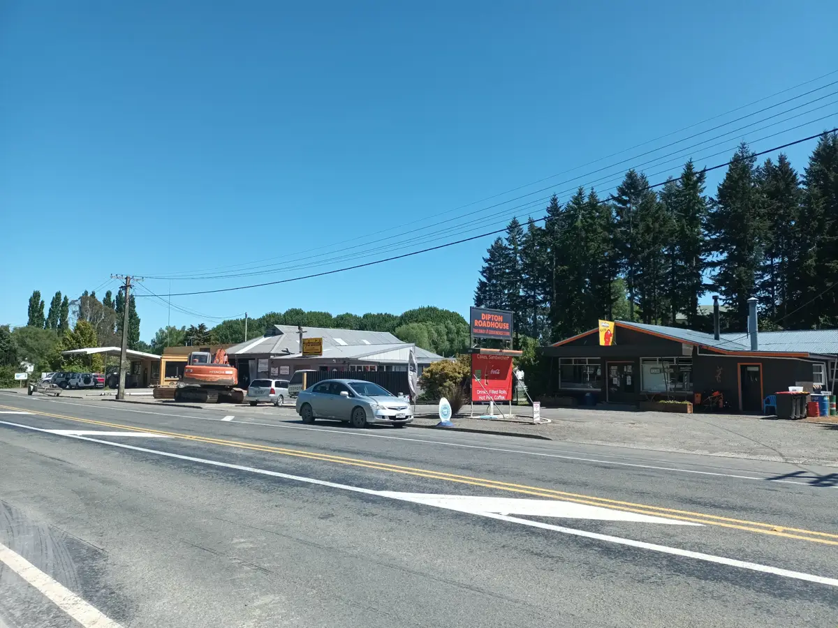
I left from Lorneville, in Otago, heading north. Winton was a good opportunity to stock up on a few groceries before lunch in Dipton and carrying on to Lumsden. I researched where the overnight stop might be, and settled on getting to Athol, which was a long enough day, such that there weren’t any cafés or shops open when I arrived. The campsite at Athol was basic but attractive. The kitchen was a small hut with a sink, toaster and fridge, so I cooked outside on my own stove. Part of the camp was set up for campervans, with each site assigned a small hut, with toilet, shower and basin as an en-suite.
An early, foggy start in Athol soon cleared and I found snack stops in both Garston and Kingston. I enjoyed the landscape, suggestive of the much larger river that once drained Lake Wakatipu before the Kawerau River captured that role.
The road from Kingston to Frankton is one which many believe is too dangerous to cycle, but with less traffic due to covid restrictions and keeping a good eye out for vehicles ahead and behind it was manageable.
I decided to head into central Queenstown to look for a few bits and pieces. It was certainly quieter than I’d seen it for years, but still plenty of shopping and food options. Because my next day was going to be a big one, I headed out via Arthurs Point to Arrowtown to camp there.
Setting out from Arrowtown, I used Tobin’s track to bypass the zigzag at the bottom of the Crown Range road, but there is still plenty of climbing to do after rejoining the road. It’s a long winding climb, and even though I could ride much of it, a loaded bicycle is pretty slow and wobbly at low speed. I decided that my safety was a lot better if I walked, especially around blind left-handed corners as I could be further to the left, with my bike between me and the traffic.
It’s always an achievement to get to a road summit — it was the first time I’d cycled this one from the south. Of course the downhill was wonderful, with a café stop at Cardrona and a relaxed arrival in Wanaka, where I decided to camp at one of the campgrounds to allow another grocery top-up.
Next day I was heading off past Albert Town, the first time I’d come across a one-way bridge with traffic lights and a cyclists’ push-button to switch them, and then on to Hawea and beyond.
There was a reasonably strong nor’westerly slowing me down. After a lunch stop on the road and then a café stop in Makarora, I headed to the DOC campground at Cameron Flat. Despite some publicity about DOC campsites needing to be pre-booked, so far I have found that you can still just turn up and pay at an honesty box, as long as the site isn’t full! The site is close to the Blue Pools, a scenic hotspot with an upgraded car park. From Cameron Flat it was a relatively short haul up to the Summit of Haast Pass/ Tioripatea. The descent however is steep, and requires care on a loaded bike, including checks for brakes overheating.
Once down on the river flats it was easy going until Haast, apart from navigating around several road crews working on sections of an optic fibre link. Although there were camping options in Haast I upgraded myself to a backpackers hotel and a pub dinner.
Fox Glacier is a 120km away and I decided that although I can do that distance in a day, that I’d split it into two easier days.
The first day took me past the steep bluffs around Knights Point and gentler coastal terrain to a DOC campsite at Lake Paringa, giving me plenty of a time for an afternoon excursion up the road to check out the nearest café, 18km away.
An early start the next day got me to Fox Glacier township, where I was expecting another welfare visit from my wife Robyn in our campervan. Because she was planning to shadow me for a couple of days, this meant I could tackle the up and down road to Franz Joseph as well as the next hump, called Mount Hercules, without my panniers.
That got us to Hari Hari where the pub was set up for campervan stays and we had time to look around the town. The next day’s forecast carried a heavy rain warning, but I was determined to keep going.
We had a cuppa stop together in Ross where Robyn reported that the campervan had a worrying roof leak. I did start riding towards Hokitika, but thinking about both my safety on the road when every passing vehicle was lifting a cloud of road spray, the forecast, that suggested the next several days would also be wet, and that the last leak on our campervan had caused a lot of electrical damage, I decided to call a halt to my ride and help Robyn get the campervan home to Canterbury.
I wasn’t sure if this was going to be the end of my ride around the island or not.
9 days riding, 707 km.


©2022 Stephen Wood